SUNDERLAND TO FATFIELD

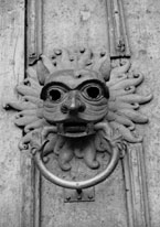
"If industrial history can be romantic then Sunderland's certainly is. The 'sundered land' (sundered either from the mainland or from its once world-famous monastery of Bishop Wearmouth - a matter of doubt), it was listed in 1193 in the Boldon Book, the Domesday Book of the Durham bishopric.
The Companion Guide To Northumbria. Edward Grierson. 1976.
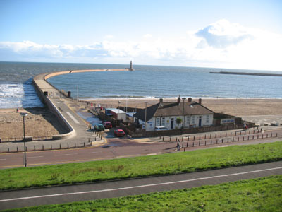
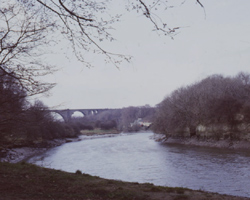
The City of Sunderland is at the mouth of the River Wear and is a port and manufacturing town, once famous for its shipyards, glassmaking, potteries, ropemaking, ironworks, brewing and coalmining. The river entrance is flanked by the new North and South piers within which are the two older piers. The river banks have been re-developed and there is a marina and much new housing near the river mouth. The city is situated on both banks of the river Wear and there are four major bridges, including one carrying the A19 trunk road. The river moves steadily south after this bridge and flows through a more rural area towards Fatfield, passing the small settlement of Cox Green and its footbridge along the way. Then the large Victoria railway viaduct is reached, surrounded by woodland and up on the hill above stands the local landmark of Penshaw Monument.
At the pleasant village of Fatfield are two more bridges, one is a narrow bridge, the other, the wide A182 dual carriageway from Washington going south. There are riverside paths on either bank at Fatfield leading back to Sunderland.
- Wearmouth Bridge - 1929
- Sunderland Railway Bridge - 1879
- Queen Alexandra Bridge - 1909
- Hylton Bridge - 1974
- Coxgreen Footbridge - 1958
- Victoria Railway Viaduct - 1838
- Fatfield Bridge - 1889
- Chartershaugh Bridge - 1975

