TEES SOURCE
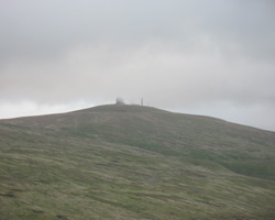
"Great Dun Fell can be a very windy place. the Met Office reported a gust of 133 mph here on 17th January 1993, and an average hourly wind speed of 105 mph on another January day, this time in 1974.
The Backbone Of England. Landscape And Life On The Pennine Watershed. Andrew Bibby. 2008.
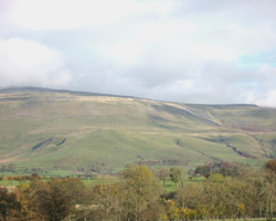
The Tees source is high in the North Pennines at a height of 760 metres. It is at the head of a remote valley best reached from the west from the Cumbrian villages of Kirkland or Blencarn. From the former village a road leads past Glebe Farm and a house at Ranbeck to ascend to the left of Grumply Hill after which it turns sharply left up a very steep track called Wildboar Scar. Moving on to a gentler gradient it crosses grassy, mossy land with bare rocks lying, and views up towards Cross Fell to the left and the Great Dun Fell lies right with its radar station marked out by a large white golf ball on the summit. This is the installation of the former Civil Aviation Authority, now NATS (National Air Traffic Services Ltd.), and which is an aid to air traffic control.
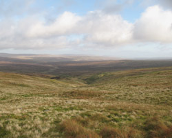
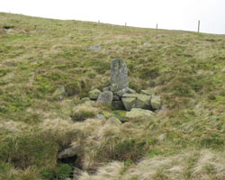
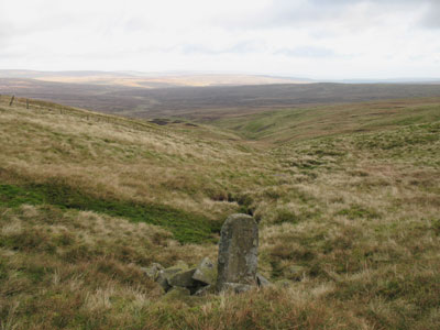
Tees Head is a little beyond the point where the track crosses the Pennine Way, here marked by a series of stone slabs on the fell. Going downhill on the eastern slopes of Cross Fell, a gate in an electrified fence leads to a boundary stone marking Tees Head. The letters B/T indicate the boundaries of the manors of Blencarn and Thanet. On the back of the stone an F stands for (Mr) Fleming and indicates his lands. This is truly bleak country. The Tees winds its way down the valley slopes while the hills on either side close in and in the distance is Moor House field station on the Nature Reserve. The Tees here marks the boundary between the old counties of Cumberland and Westmorland.
- Constructed - not applicable.
- Type - not applicable.
- Position: Upper Teesdale, Cumbria.
- Grid Ref: NY 700 341
