SCOBERRY FOOTBRIDGE

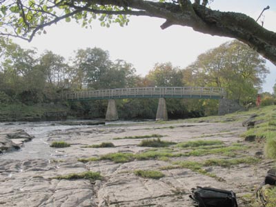
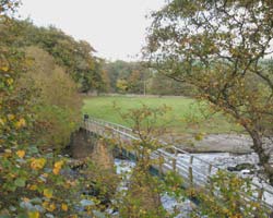
From Middleton up to its source in the Pennines the Tees passes through much wilder country than further downstream. The villages die out and the river is steeper and correspondingly faster. An older bridge here was replaced in 1971, the earlier bridge was damaged in the floods of 1942 and was closed until repairs were completed. The footbridge is some distance from the road across fields and the hills are dotted with isolated farms while the road begins to move out onto moorland. At the bridge the riverbank has many flat stones, and trees line the banks where wild flowers grow.
At Holwick Scars to the south are cliffs forming a backdrop to the river in the middle distance. Nearby Newbiggin is a tiny collection of buildings at a road junction where a minor road leads over the hills to Westgate in Weardale five miles to the nortb. Bowlees Visitor Centre is near to Newbiggin, west along the main road, and information about Teesdale can be obtained.
- Constructed - 1971
- Type - beam, timber, 3 span, wrought iron trestles.
- Position: near Newbiggin, County Durham.
- Grid Ref: NY 910 274

