DERWENT TRIBUTARIES

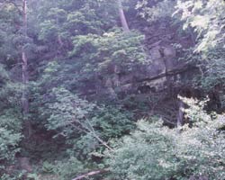
"The Nookton Burn is on the left, the Beldon Burn on the right. At the apex of the junction is a great rocky cliff, Gibraltar Rock. From the top of this rock there are extensive views. Looking north, south, and west are seen wave upon wave of heather covered, ravine scarred hills, that stretch as far as eye can see, while here and there the tall chimney of an old lead smelting works rears its solitary shaft to the sky."
Guide To The Vale Of Derwent. Jas. F Robinson. 1892.
The two major streams that unite to form the Derwent near Gibraltar Rock are the Beldon Burn and the Nookton Burn. There are many smaller streams which add their waters to these two burns. Beldon Burn has its source on Heatherburn Moor while the Nookton Burn rises further south on Nookton West Fell. The empty moors here continue west to reach a height of 1700 feet and go on to the River Allen valley and Allenheads which can be reached along a path from Bay Bridge. This is remote country bounded to the south by the Allenheads to Rookhope road. One of the highest points is at Bolt's Law at 540 metres at a point south of Blanchland at the head of the Bolts Burn where lead was once mined. There are a few wooded areas on the moors and some fine views.
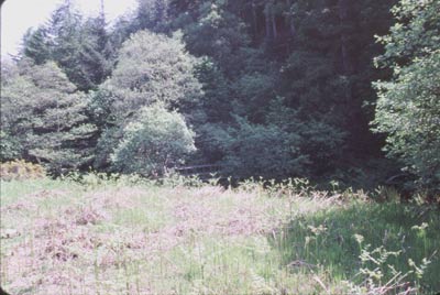
The two burns which unite to form the Derwent are reached by a footpath going off to the left on the north side of Bay Bridge. First passing through a meadow, the path crosses the river on the last footbridge on the Derwent, near Hunstanworth. The path continues through woods and eventually reaches the Beldon and Nookton burns, the latter being the smaller of the two. It ends near the footbridge on the Beldon Burn and beyond is the cliff called Gibraltar. The burn continues along an almost impassible steeply sided wooded valley.

