NORTH TYNE - SOURCE
"In a wild hollow under the English slope [of Peel Fell] the North Tyne springs from peat mosses, and on its way down lingers silently for a time in a rushy flat known to the borderers as Deadwater, a name now embalmed in the timetables of the North British Railway"
The Romance of Northumberland. A G Bradley. 1908
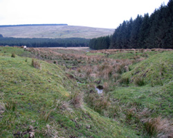
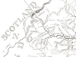
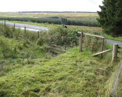
The source of the North Tyne is difficult to pinpoint. Is it high up on Peel Fell or lower down on Deadwater Fell? The Deadwater Burn is prominently marked on Ordnance Survey maps and this seems to be the true source of the Tyne. But is it? Almost certainly the true source is not on that burn which is only the first tributary of the North Tyne, but a little further northwest beyond the old railway station. Here lies the source, in a field very close to the border, a small start to a great river. If this is the case the picture (below) of the bridge at the Anglo-Scottish border would then be the first bridge. However, the old railway bridge and the modern road bridge over the Deadwater Burn are included for completeness. (Railway Bridge Two and Deadwater Bridge)
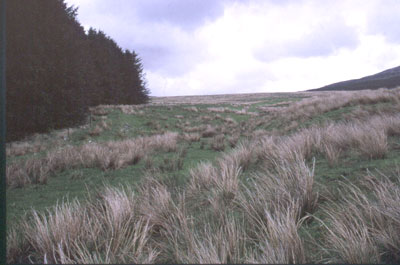
Further north at 550 metres or 1750 feet the Deadwater Burn flows southwards and is joined by several smaller streams. The coarse grass of the fells is mainly trodden by the sheep who roam these hills, while from Peel Fell at 1975 feet, or 602 metres, the view extends to both Irish and North Seas.
The Kielder Stone is a large boulder situated almost on the border. It is said that messages were once left here. About 4 miles northeast is another border crossing at Carter Bar in the Cheviot Hills. This is the edge of England, Northumberland is England's last county and the birthplace of the North Tyne.
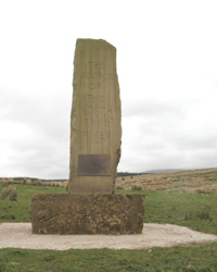
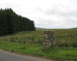
In recent years an obelsik has been erected at the source of the North Tyne and the top two smaller pictures below show the source as now identified and the obelisk.
- Position - in field at border, approx. half a mile west of Deadwater, Northumberland.
- Grid Ref - NY 603 976
